
If you haven’t read Riding the XVT: Part 1, you can read it here.
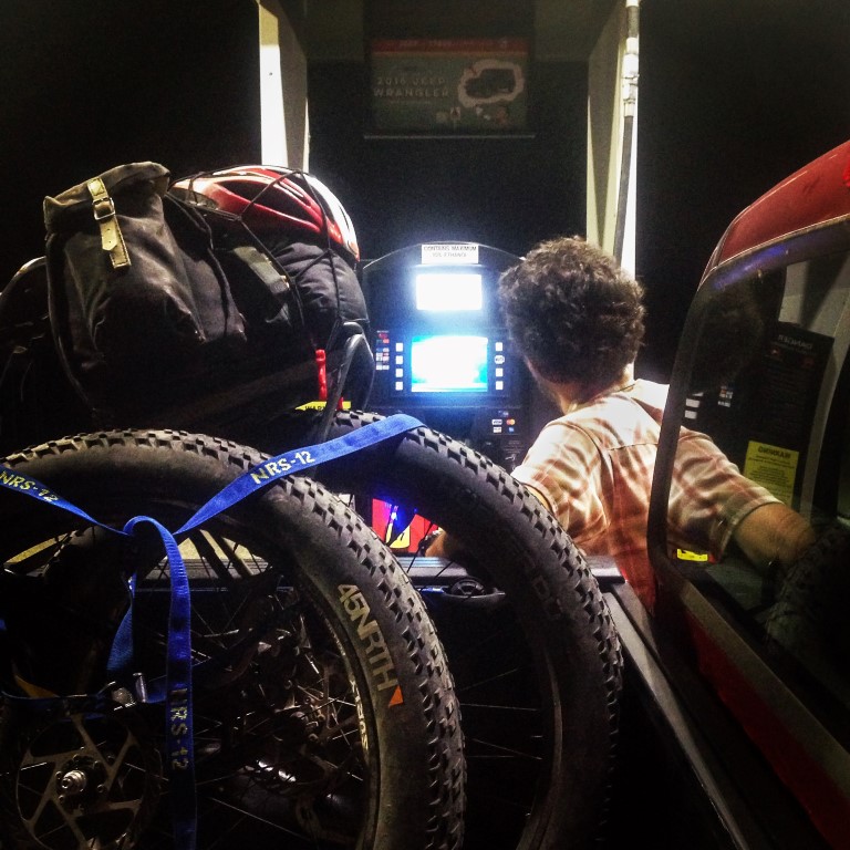
Before Jeff and I finished the northern part of the XVT, I was already making plans to ride the southern section. Jeff was unable to join me, but Dan, my close friend and 4-season adventure partner was chomping at the bit to ride it, we just needed to make the time. Neither of us had any intentions of setting a record, but we planned on moving quicker than a touring pace while still taking some breaks and getting eight hours of sleep every night. On short notice we managed to find 2½ days in our schedules that matched up, and with an offer from Jeff to drive us to the start on the Massachusetts border, we were off.
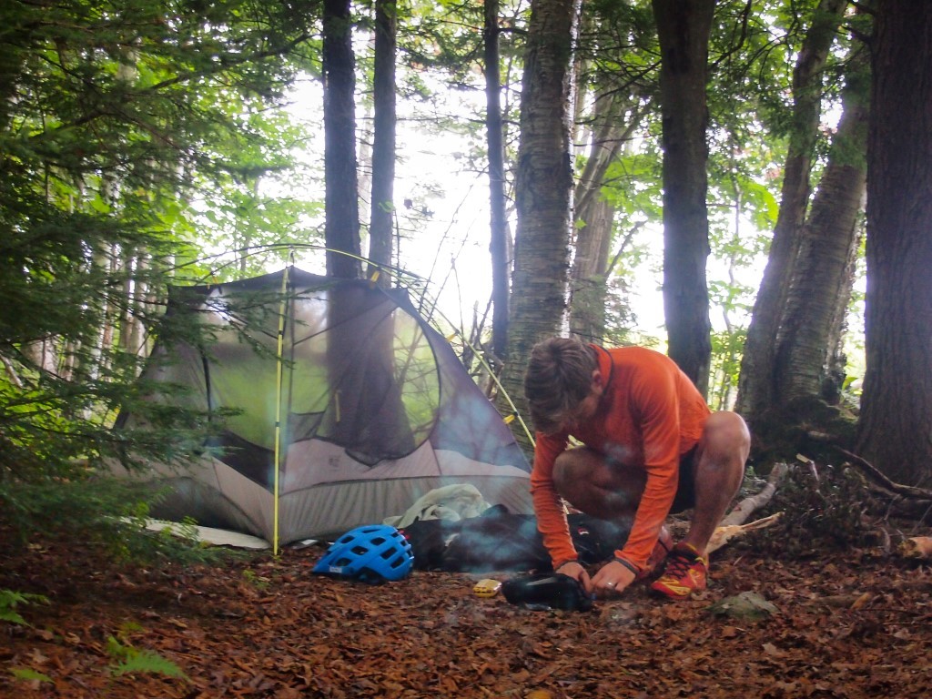
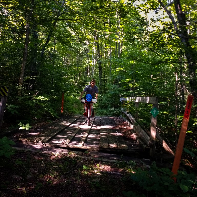
While the standout terrain on northern part of the XVT, at least in my opinion, is the miles of singletrack and class 4 roads, the southern section standout is miles of gated forest roads. More miles than I ever realized Vermont had, and the climbing doesn’t get easier; subjectively there may even be more and for longer stretches. But if you pack light, the reward for many of these climbs is a fast and technical descent with fun water bar rollers. Also, much of the southern part of the route goes through the Green Mountain National Forest, where great camping abounds.
Some notes on the route:
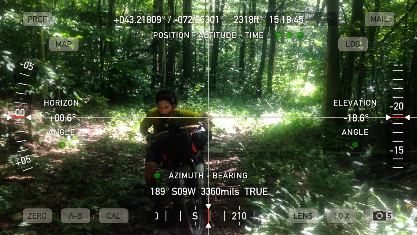
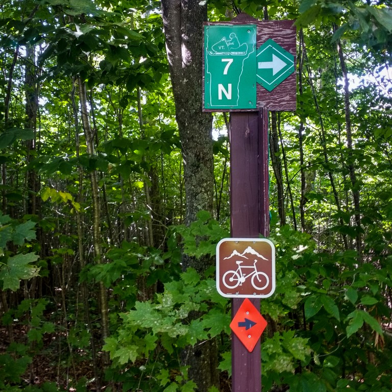
- Navigation: I use Android, Dan uses iOS – but we both used Maps.me for our navigation app. Most of the roads and some trails are displayed and the ones that aren’t are well enough defined to follow without the GPS (with the exception of the bushwack over to Green Mountain Trails, for which Gaia GPS may be a better app choice). To convert GPX files to KML, which is the format Maps.me and Google Earth use, I use GPX2KML.com. In addition, the app Maplets has an offline GPS enabled trail map of the Green Mountain Trails.
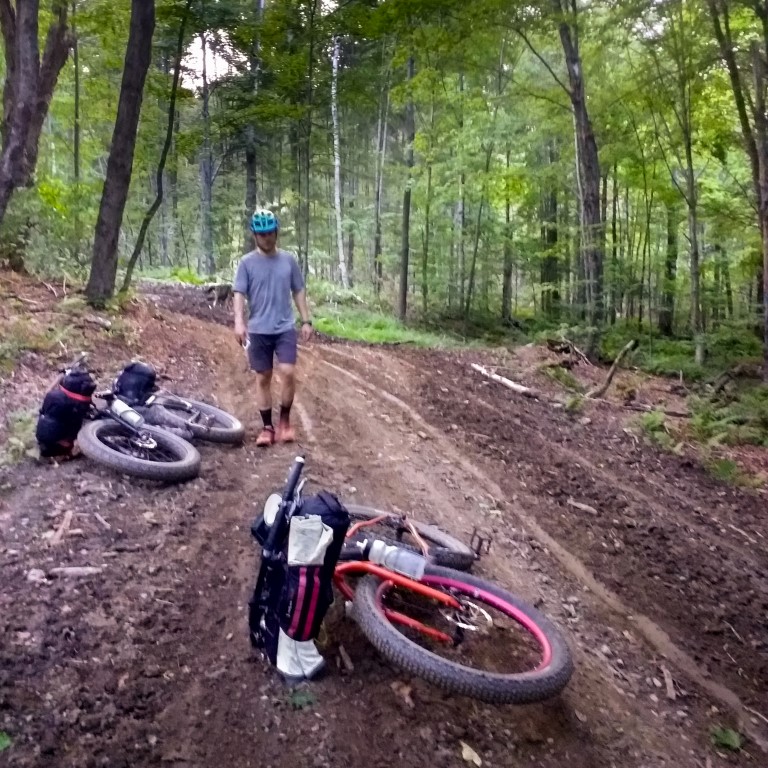
- Flora and Fauna: We experienced everything from brambles and nettles to bears and moose, but hardly any bugs.
- There’s some good camping spots on Harriman Reservoir after crossing the dam
- As for resupply stops, north of Lincoln Gap has quite a few choices every day, but the stretch south has only a few overall. If I remember correctly they were Bondville, Belmont, Bridgewater, and Pittsfield
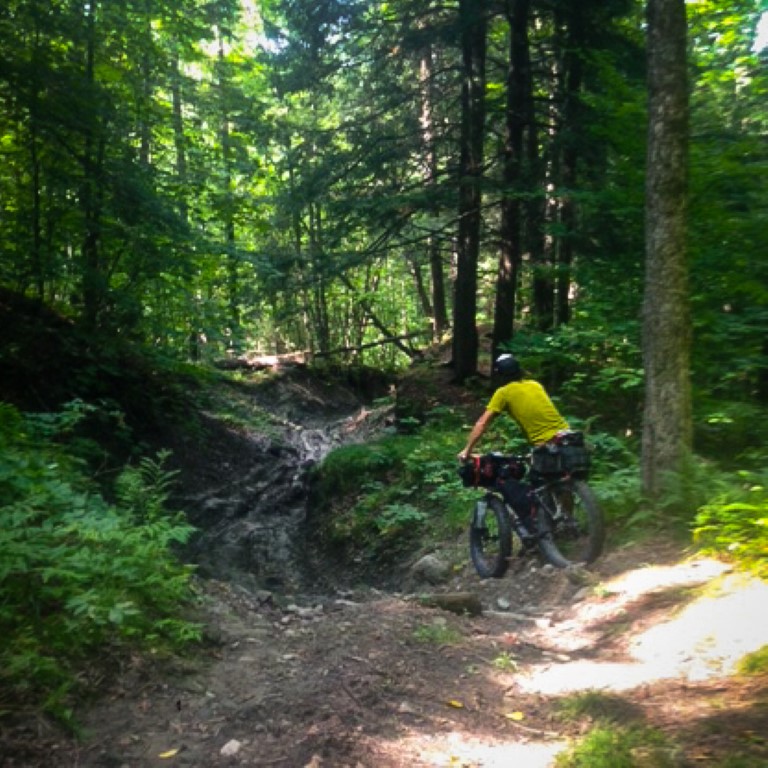
- Especially on the southern section, much of our water came from streams, so having some means to purify water is important
- The muddy ravine descent at the end of Readings Pond Road in Plymouth (before Hale Hollow Rd.) has a good bypass trail on the right.
- As of 9/3/16, there’s active logging on Lafrania Road, which leads to the bushwack over to the Green Mountain Trails.


I used to live in Ripton, so Dan and I have spent quite a bit of time riding the trails around the area. As great as they are, in the interest of time we chose to skip the Chandler Ridge and Widows Clearing trails, in favor of dirt roads and make it back to Jeff’s house by noon.
For those interested in touring the XVT, not racing it, plan on about a week, or a little longer if you want to explore some of the swimming holes and side trails along the way, of which there are plenty. 40ish miles a day may not seem like much, but there’s a lot of steep climbing and many sections are slow going. Besides, you’re in Vermont – we don’t rush things here. Also, many sections of the route require technical mountain bike skills and crashes could have a grim outcome. Lastly, while some bikepacking routes, such as the GDMBR, are mostly rideable with 4 pannier rigid touring bikes, this isn’t one of them. To find out more about the XVT, check out the XVtBkPkRte Facebook group, or the Vermont Mountain Bike Association.
Thanks for visiting and stay tuned for posts and photos from this summers bikepacking, backpacking and packrafting adventures in Alaska.


Hi, Amazing write up! My friends and I are trying to start riding the xvt (south to north) on Friday. Any recommendations on how to get ahold of someone from VMBA for the gpx points? I am a new member of the site and I’m sure just not navigating it properly. Pretty much all other questions we had about the route you covered in your write up! Thanx again for such a great description and pics! I’m even more excited to go now and will be sharing this with my friends.
Kane
Thanks Kane! As of now, the best way to get the GPS track for the route is to contact Dave Tremblay through the XVtBkPkRte Facebook page. For those not on Facebook, send me a message and I’ll see what I can do.